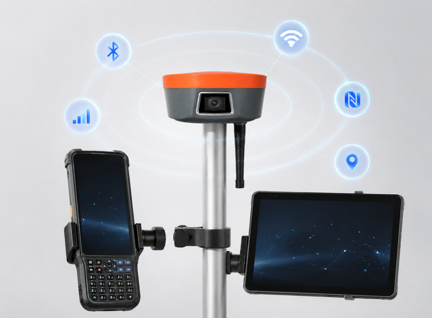

.png)
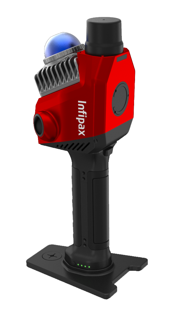

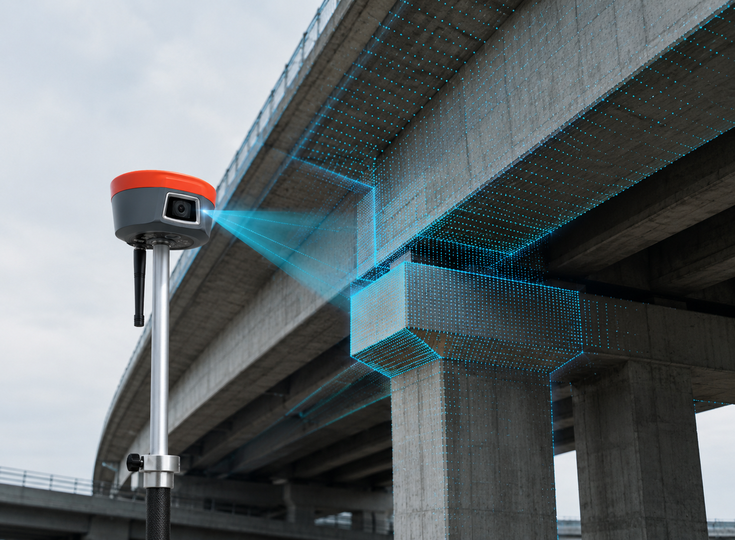
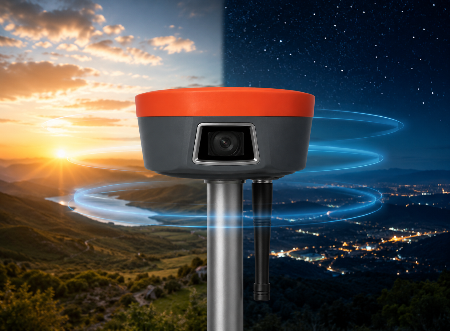
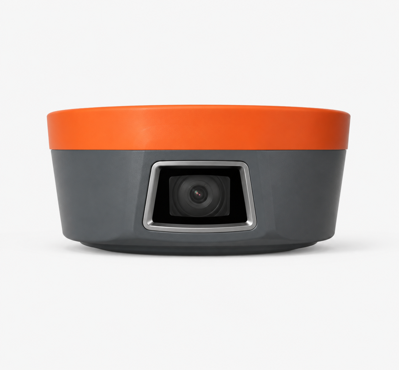
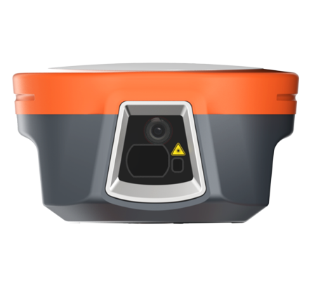
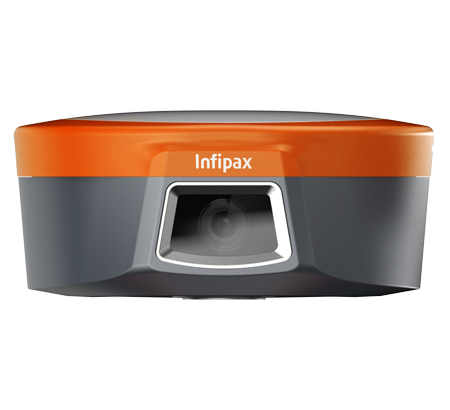
Precise Visual Surveying
Powered by an HD starlight camera and advanced visual algorithms, Horus enables visual surveying through capture, tap, and measure.
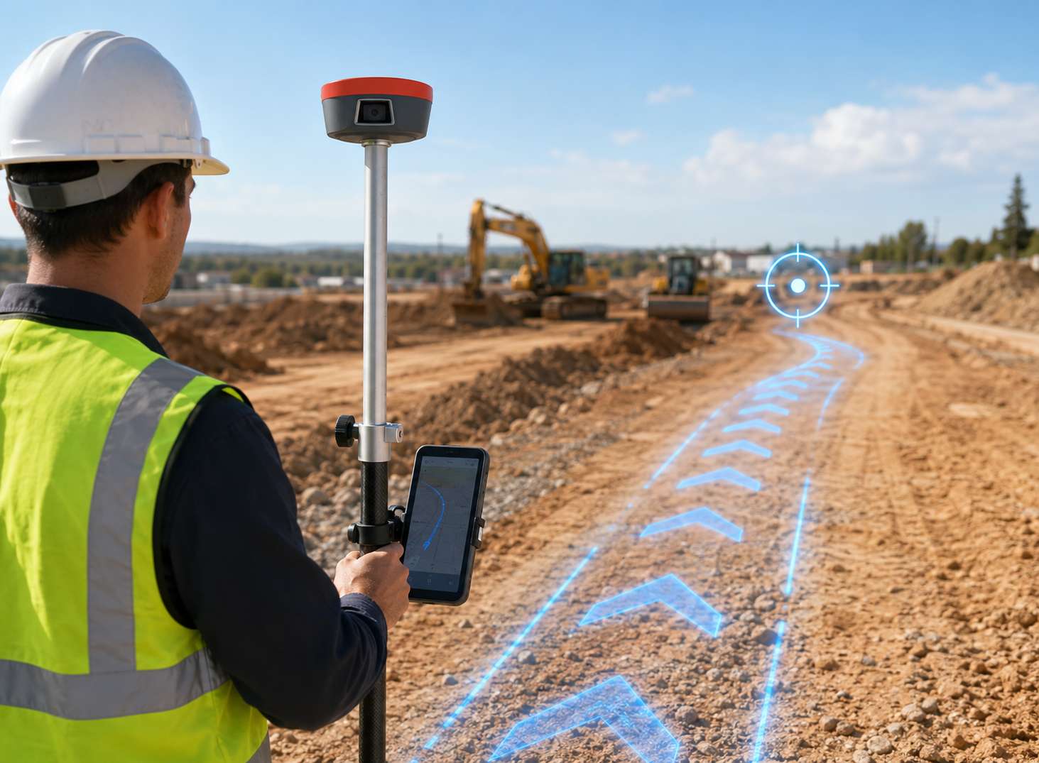
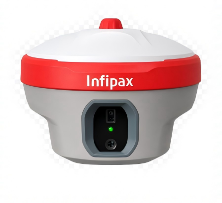
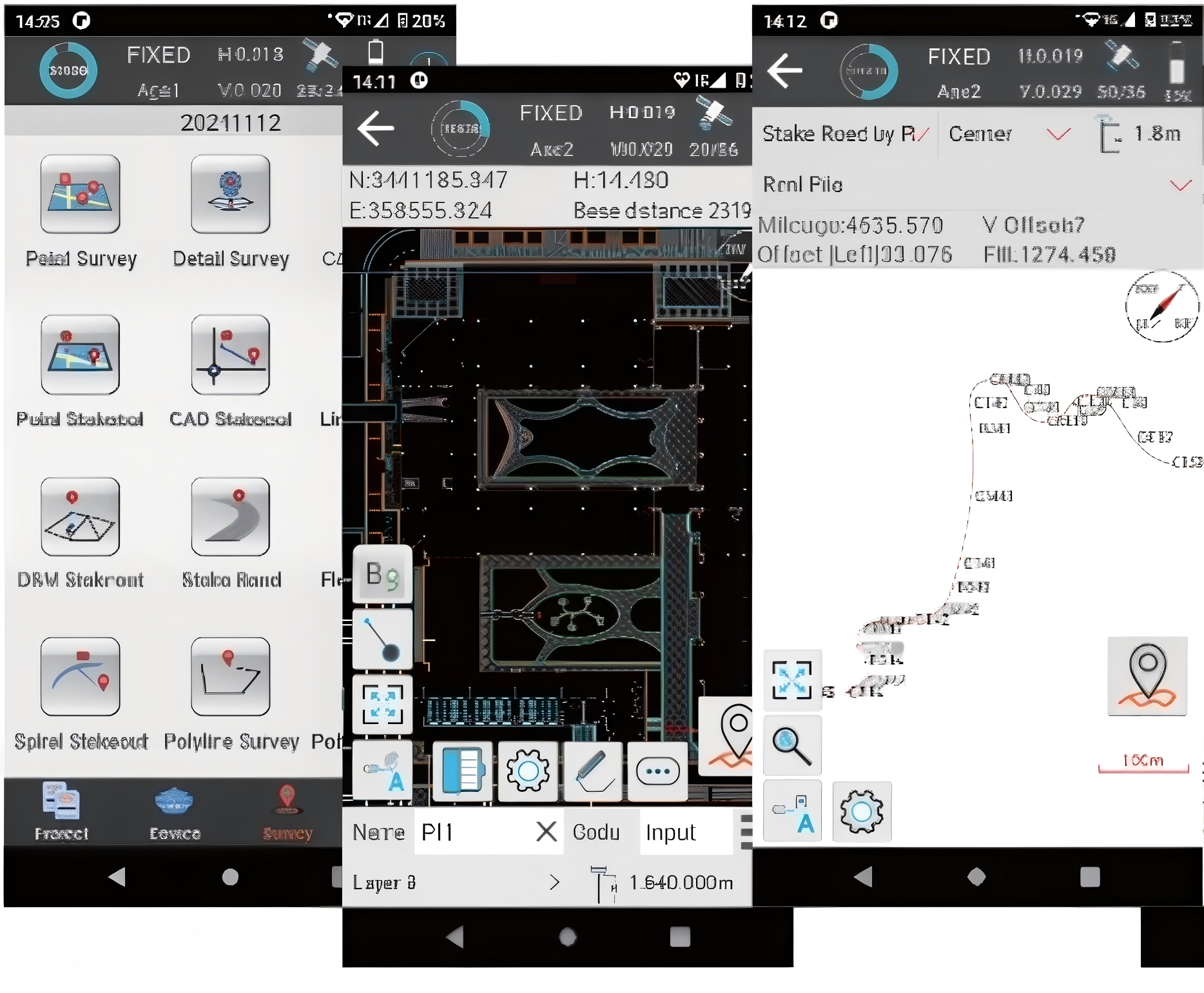
Visual Navigation And Stakeout
The Vega R5 pro’s star-level cameras create an immersive 3D visual stakeout experience, paired with Infisurveysoftware’s intuitive AR visual guidance. A clear directionalarrow, real-time distance,and ground-marked stakeoutpoint enable effortless one-step stakeout at a glance.
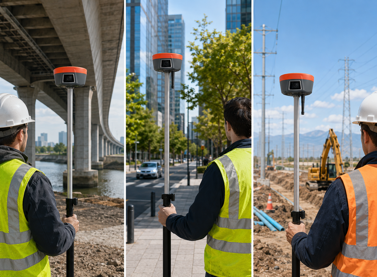
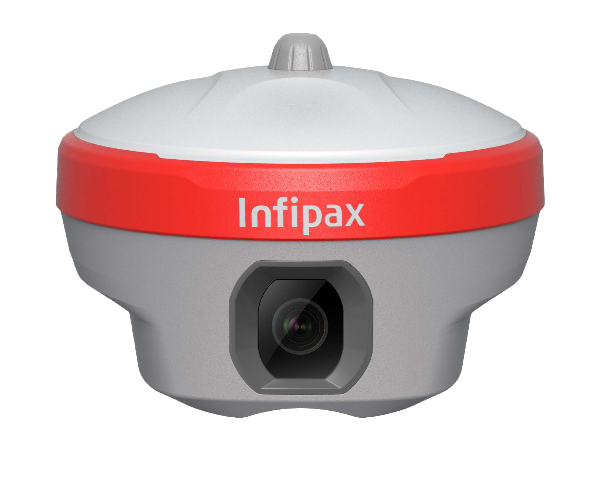
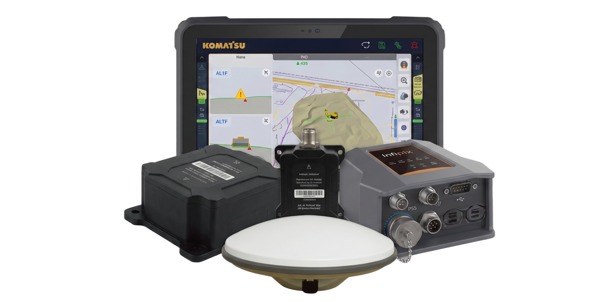
Better Pole Tilt Compensation
Based on the new generation of IMU, initialization occurs automatically at the startup without obtaining a fixed solution.
Visual Surveying
AR Stakeout
Pole Tilt Compensationt