
.png)
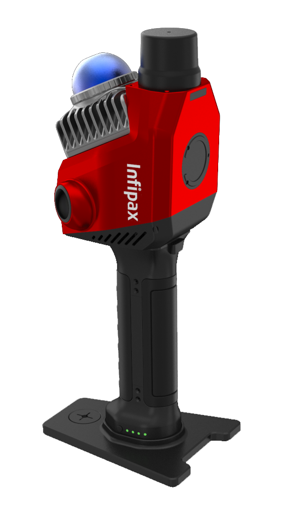


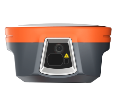
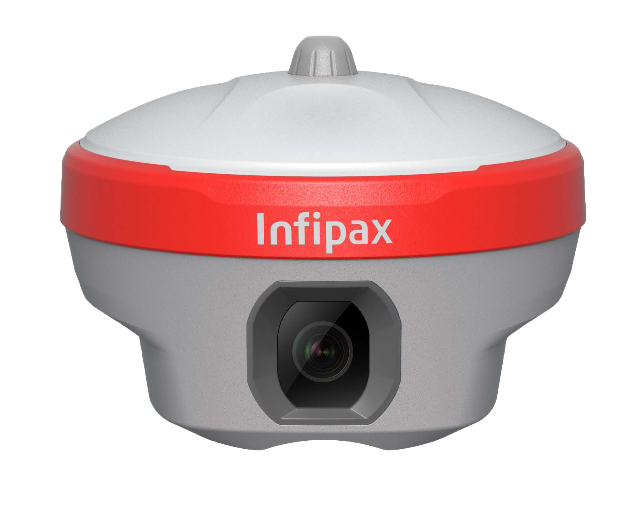
Precise Visual Surveying
Powered by an HD starlight camera and advanced visual algorithms, Horus enables visual surveying through capture, tap, and measure.
Camera-Assisted Laser Surveying
Combined laser surveying with back camera, the Horus provides clear visual-assisted targeting for clear and precise aiming.
Dual-Camera AR Stakeout
With dual-camera integration, Horus enhances AR stakeout through auto distance-based switching.
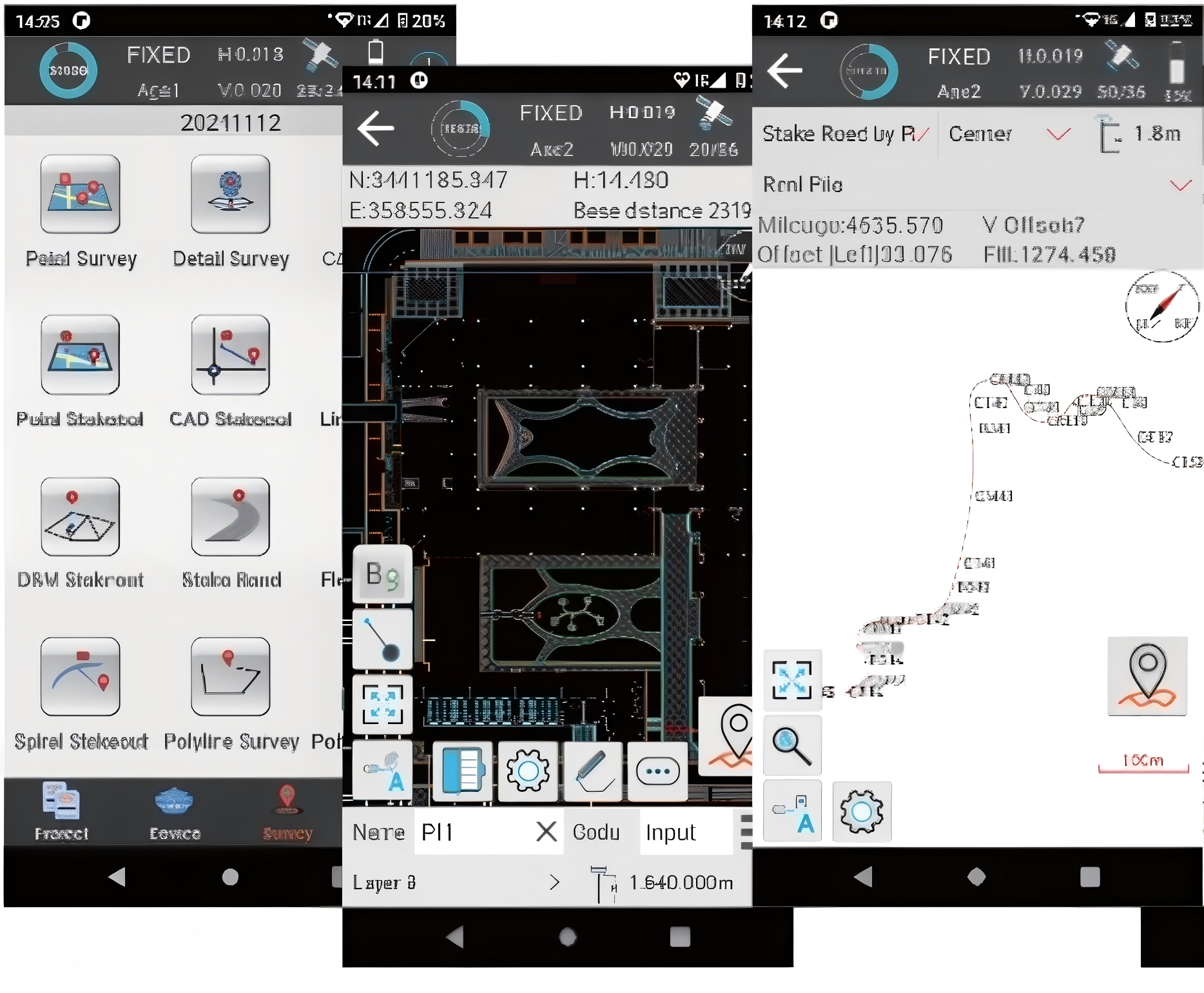
Visual Surveying
Laser Surveying
AR Stakeout


