


.png)


.png)


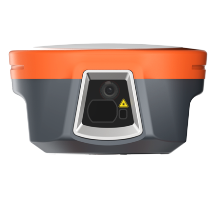
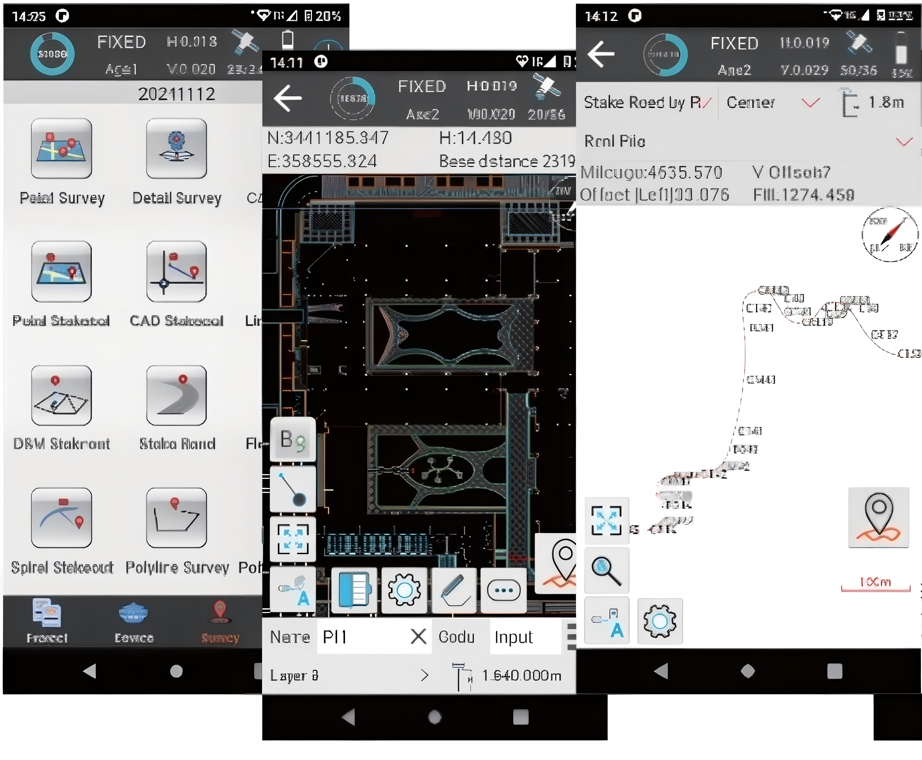
120° Tilt Compensation
A high-performance 200Hz IMU supports pole tilt measurement up to 120°, allowing surveyors to capture hard-to-reach points without repeatedly leveling the pole. It is built for real field scenes such as road edges, wall corners, points under vehicles and areas with limited sky view.
1408-Channel Full GNSS
L30 tracks multi-constellation and multi-frequency GNSS signals through 1408 channels, providing a strong positioning foundation for daily RTK work, base-rover setups, static collection and network RTK operation.
Reliable Field Communication
The integrated 2W RX/TX radio, global 4G module, Wi-Fi, Bluetooth and NFC give crews flexible communication choices. Whether working with a local base station or an internet correction service, L30 keeps the workflow simple and field-ready.
Tilt Survey
Full GNSS
Radio & 4G


