
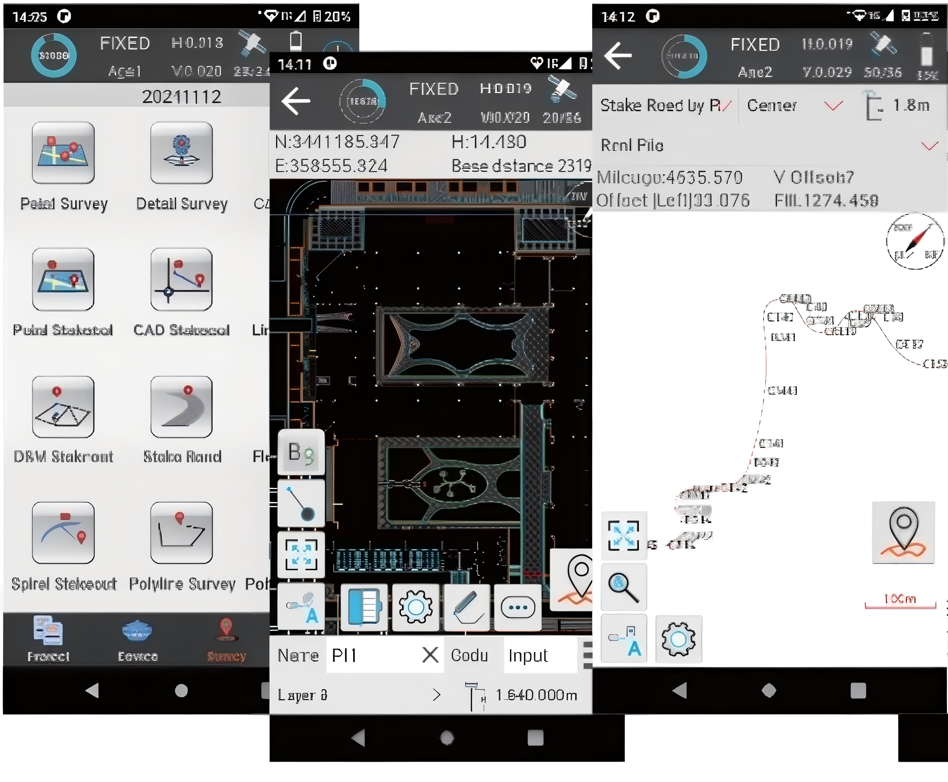
.png)
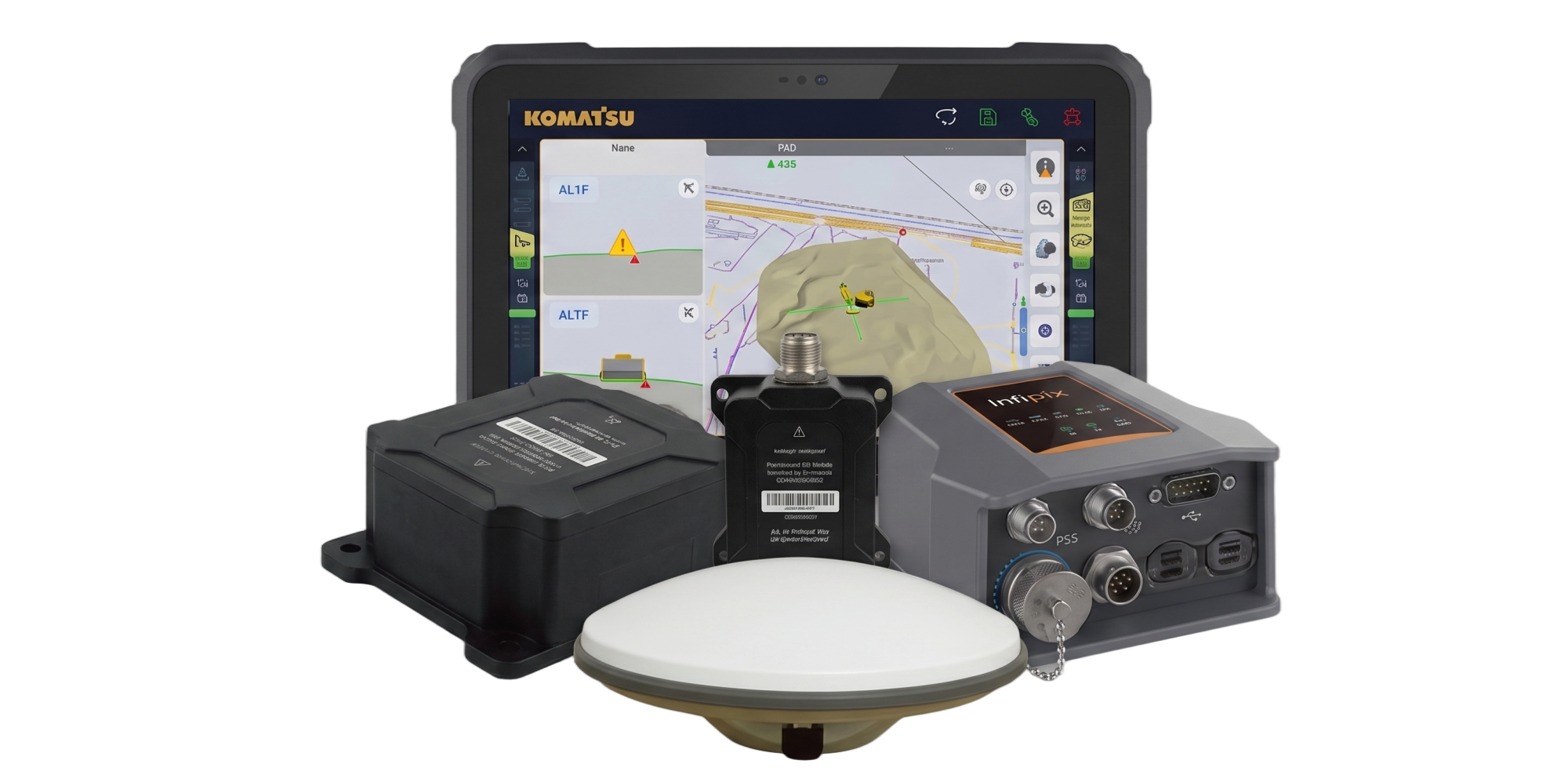
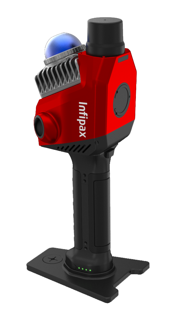

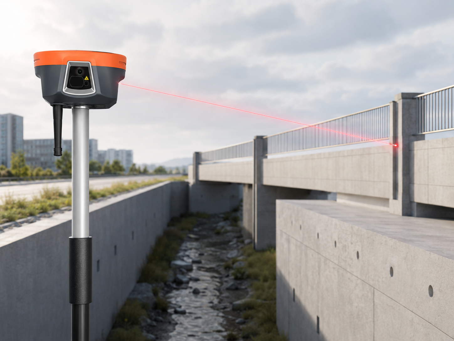
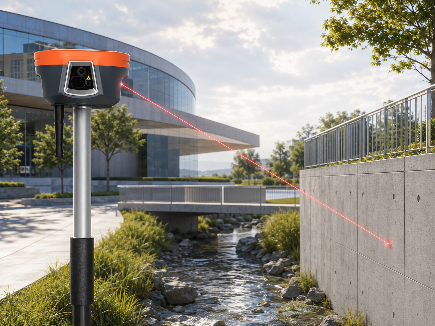
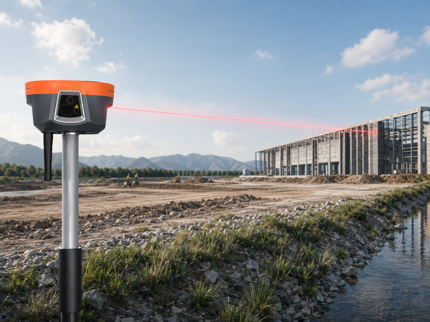
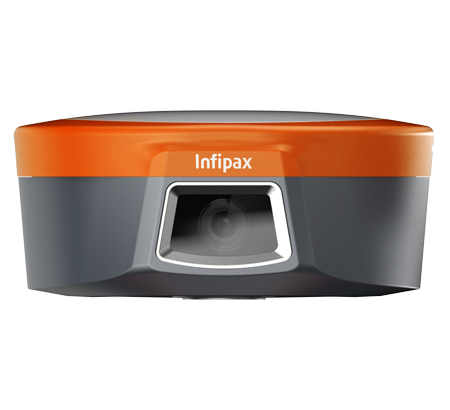
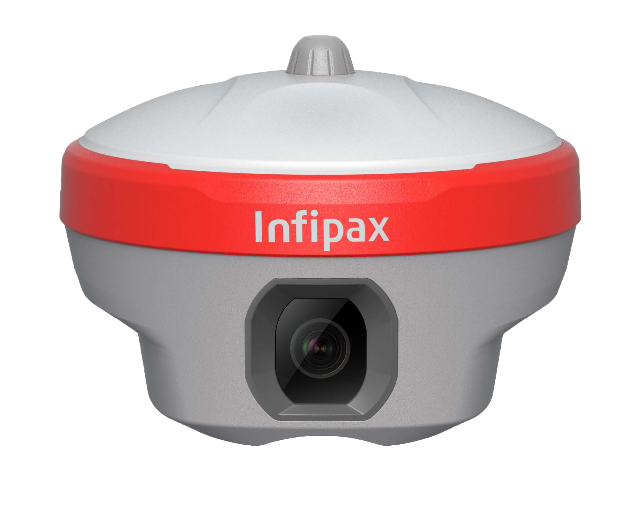
High-Precision Laser Surveying
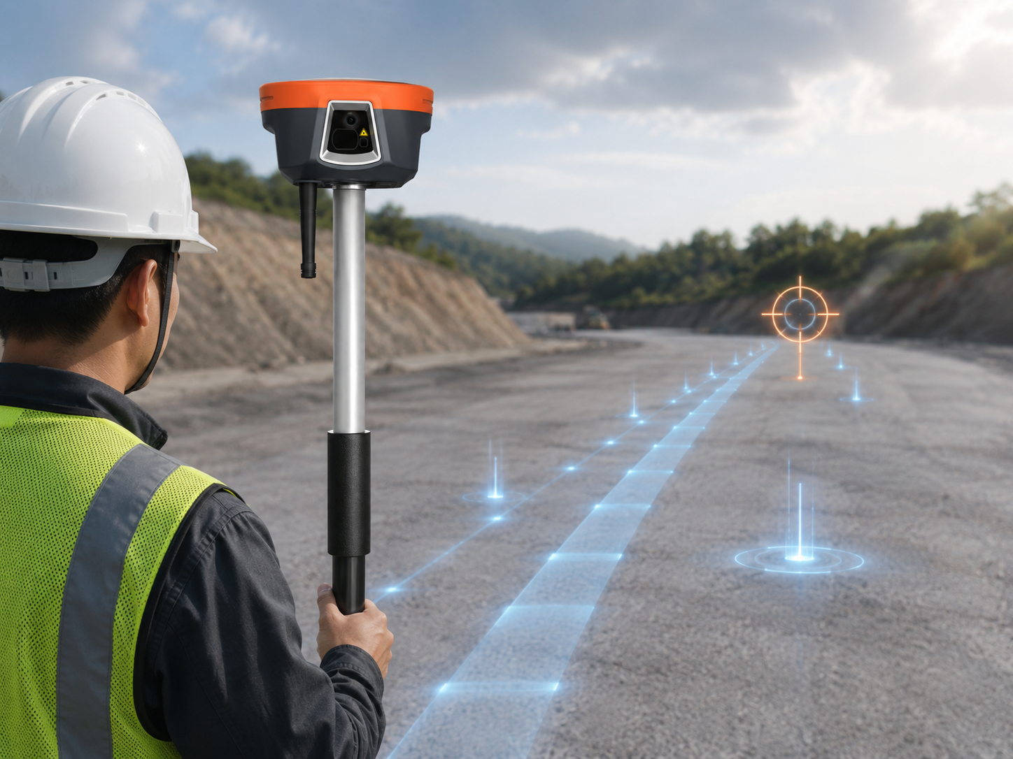
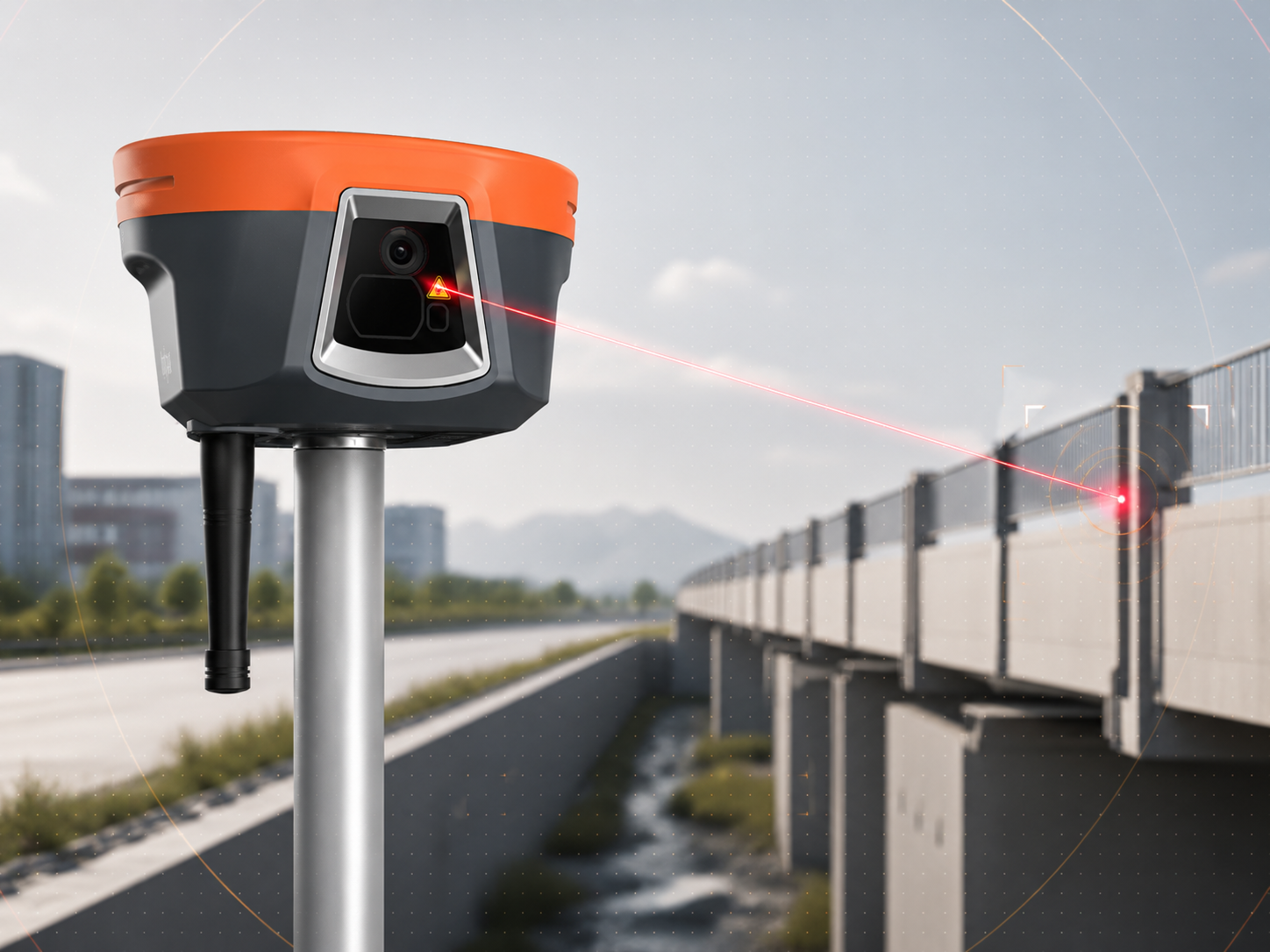
By combining laser and visual technologies, the system delivers non-contact measurements with an accuracy of up to 2.5 cm within a range of 5 m, enabling confident operation in GNSS-denied environments such as under bridges, inside fenced zones, or across ditches — all from a safe and convenient distance.
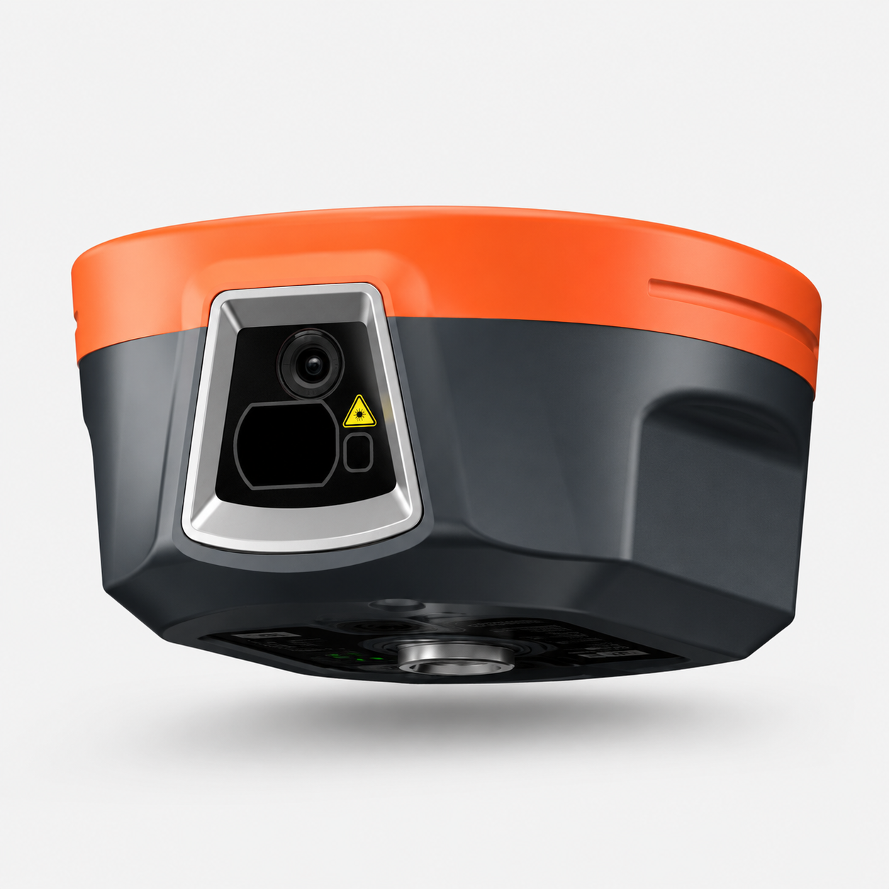
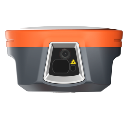
Laser Surveying
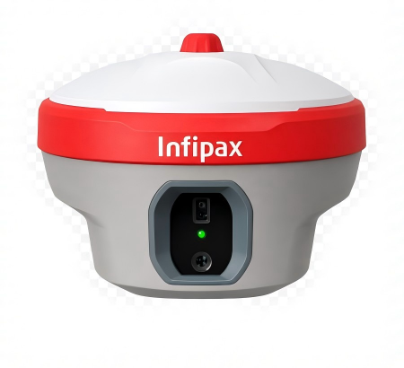
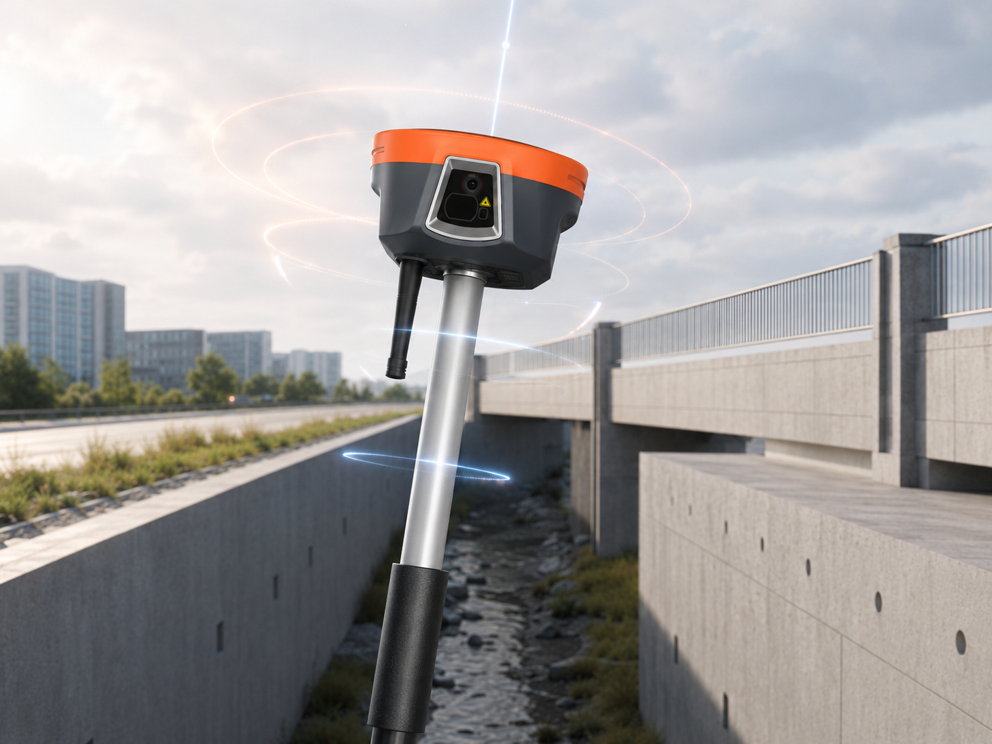
Automotive-grade IMU
Visual Laser