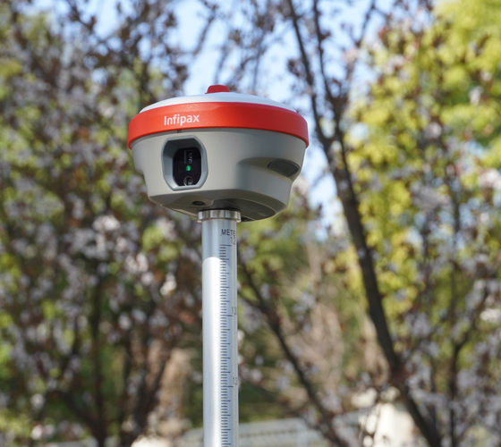
.png)


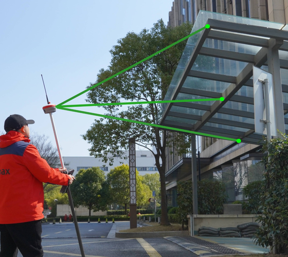
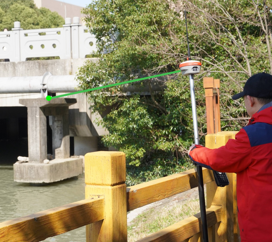
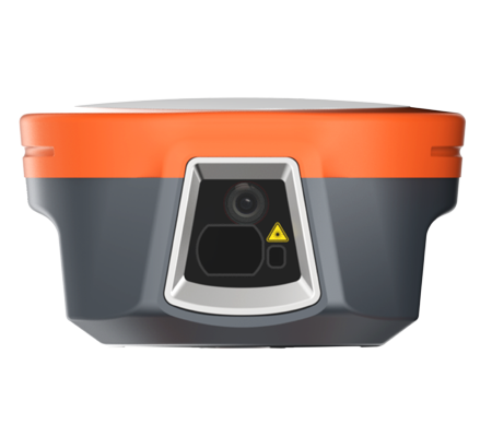
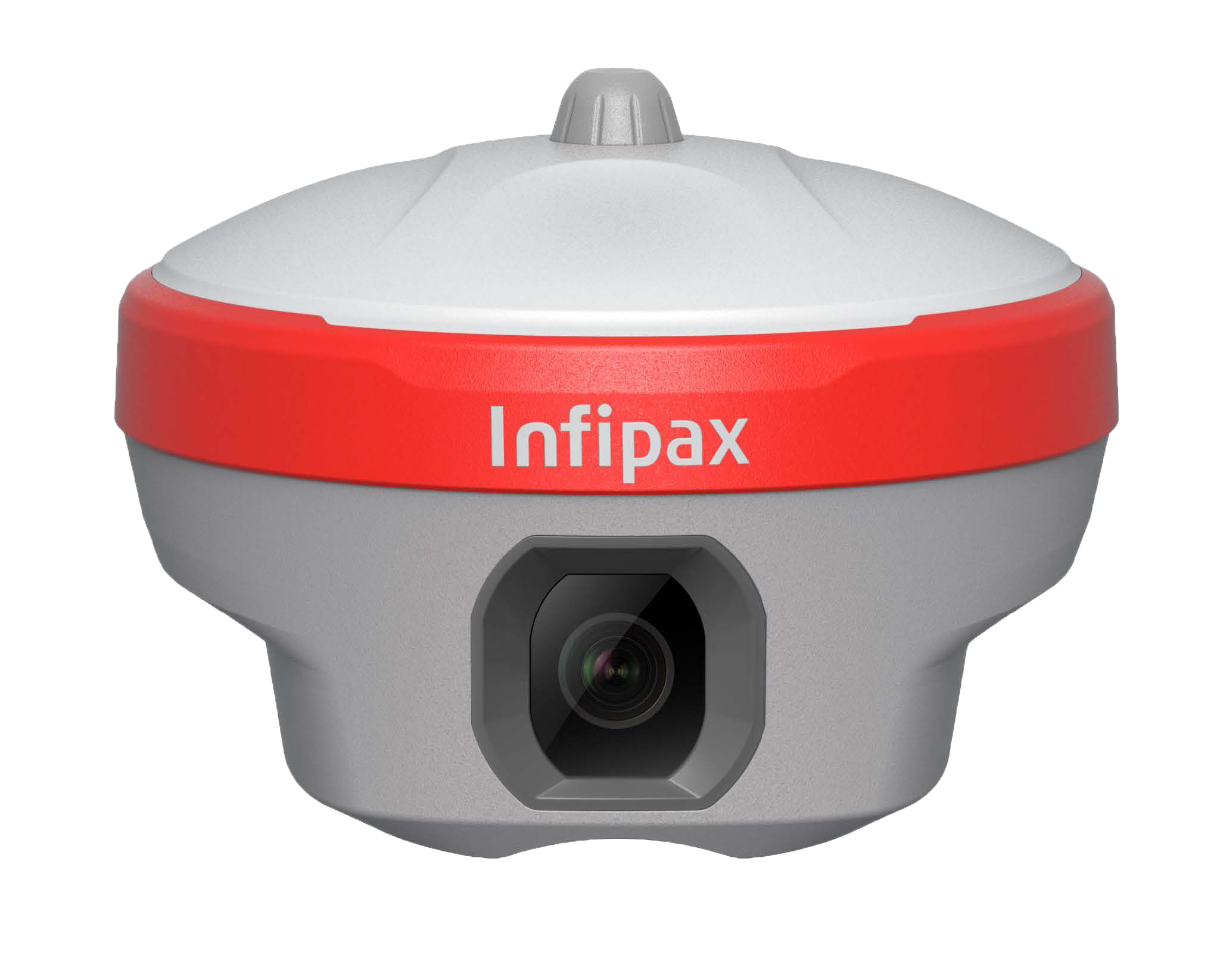
Measure Inaccessible Points
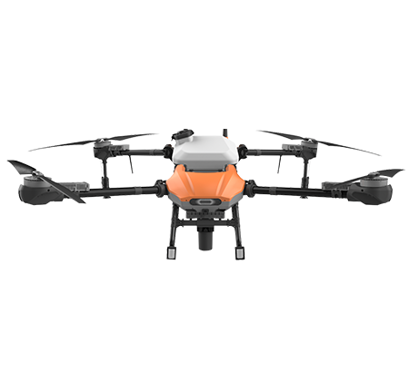
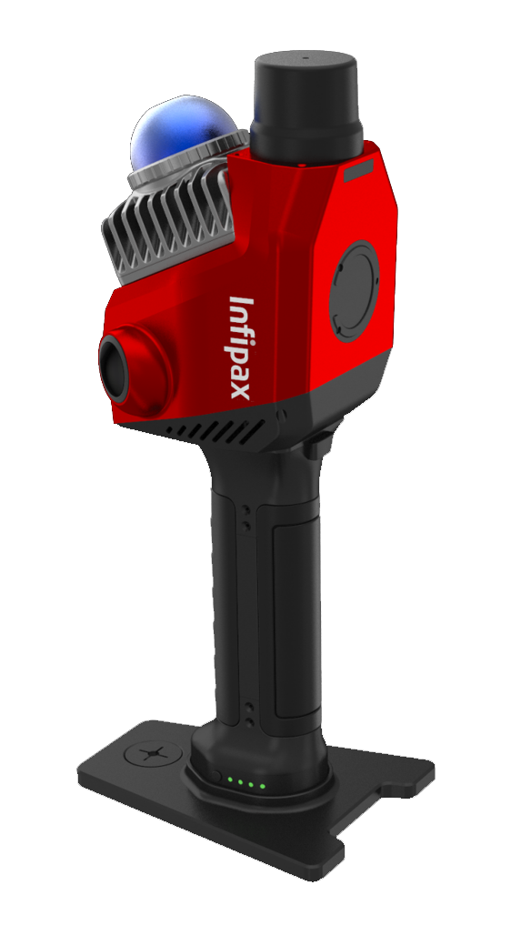
The laser measurement version allows coordinates to be collected without getting close to the target. It is designed for points across obstacles, unsafe ground, blocked GNSS areas or places where placing the pole directly on the target is difficult.
Up to 30m Laser Range
The built-in laser module supports 10 meters typically and up to 30 meters in suitable conditions, with 2–3cm laser measurement accuracy when the incline angle is under 30°, helping crews extend their reach in complex field scenes.
Laser + AR + Tilt Workflow
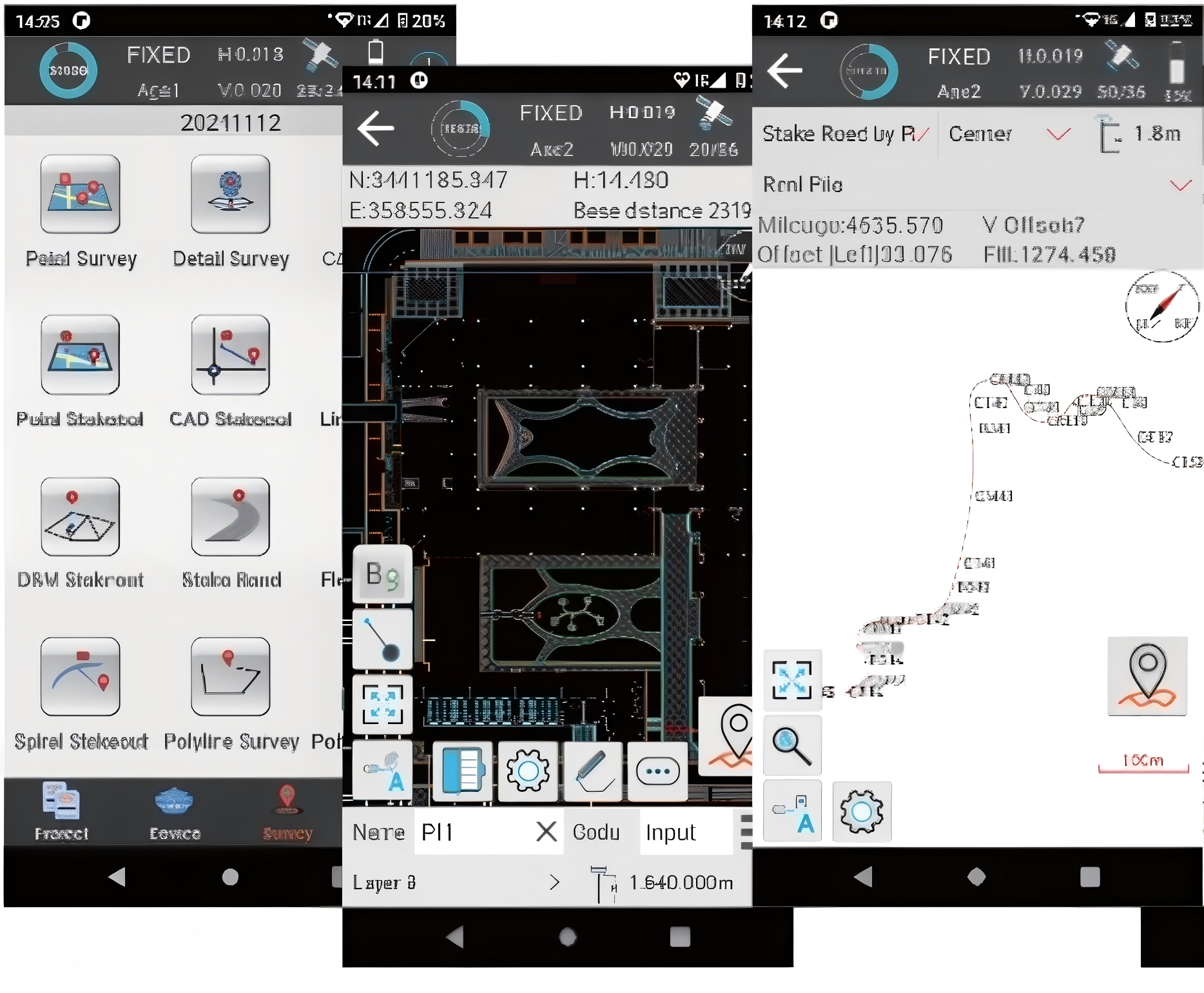
Laser measurement, AR stakeout, visual guidance and 200Hz tilt compensation work together to reduce unnecessary movement. Surveyors can identify, aim and collect points more efficiently while keeping RTK operation connected to the real field environment.
Laser Survey
30m Range
Smart Workflow


