.png)
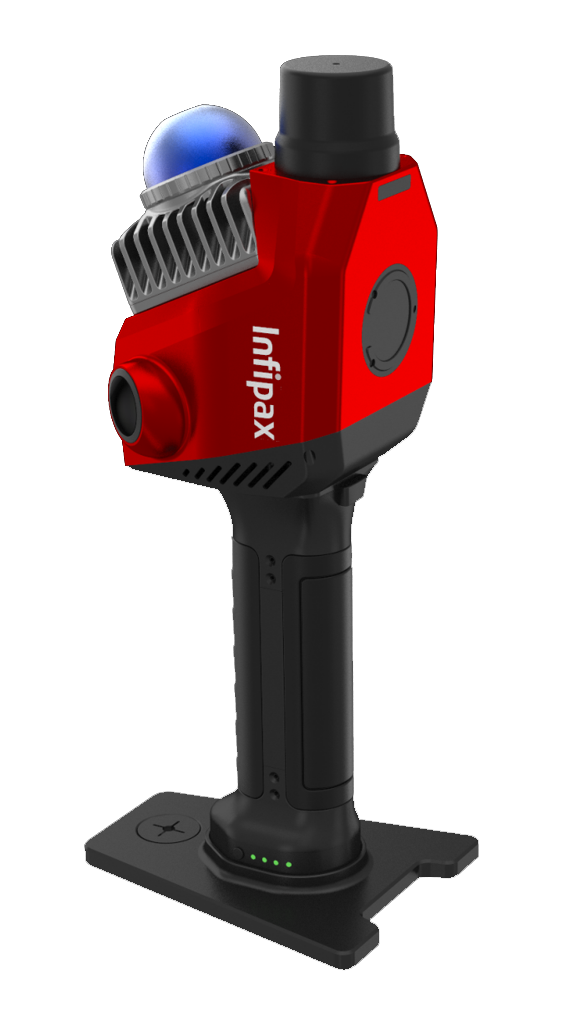

R7
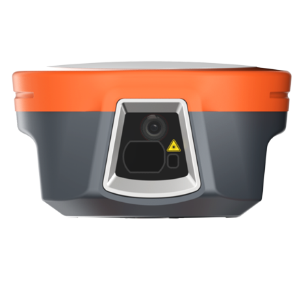
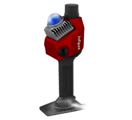
The R7 is a handheld 3D LiDAR scanner , integrating high-precision LiDAR, surveying and mapping wide-angle camera
The R7 is a handheld 3D LiDAR scanner with a 700g main unit (1079g total), IP5X protection, and -20°C to 55°C operating temperature. It features a 200,000 points/s LiDAR (0.1-70m range, 360° horizontal FOV), 32MP dual 1-inch cameras, built-in RTK (0.8cm horizontal accuracy), 256GB storage, and 150-minute battery life. Key functions include real-time color point cloud generation (≤1cm thickness/relative accuracy), visual-SLAM, and compatibility with "Capture" APP and "PointClouds Studio" software.
High-Precision Point Cloud with Real-Time Coloring
Supports both real-time and post-processing calculation, adding color to point clouds in real time with industry-leading color point cloud appearance. The point cloud thickness is within 1 cm, and relative accuracy can reach 1 cm .
Advanced Imaging System
Equipped with two 1-inch ultra-wide-angle cameras with mechanical shutters, totaling 32 megapixels, and a built-in visual-SLAM camera to solve laser SLAM degradation scenarios .
Integrated RTK Module
Built-in RTK module with no need for external antennas, featuring a new RTK antenna with stronger anti-interference ability and faster acquisition of fixed solution, operable with one click in the mobile APP .
User-Friendly Design and Accessories
New quick-release battery structure for secure installation, standard magnetic mobile phone holder for stable adsorption, and one-click encrypted WiFi connection via Bluetooth for stable connectivity .
Comprehensive Software Support
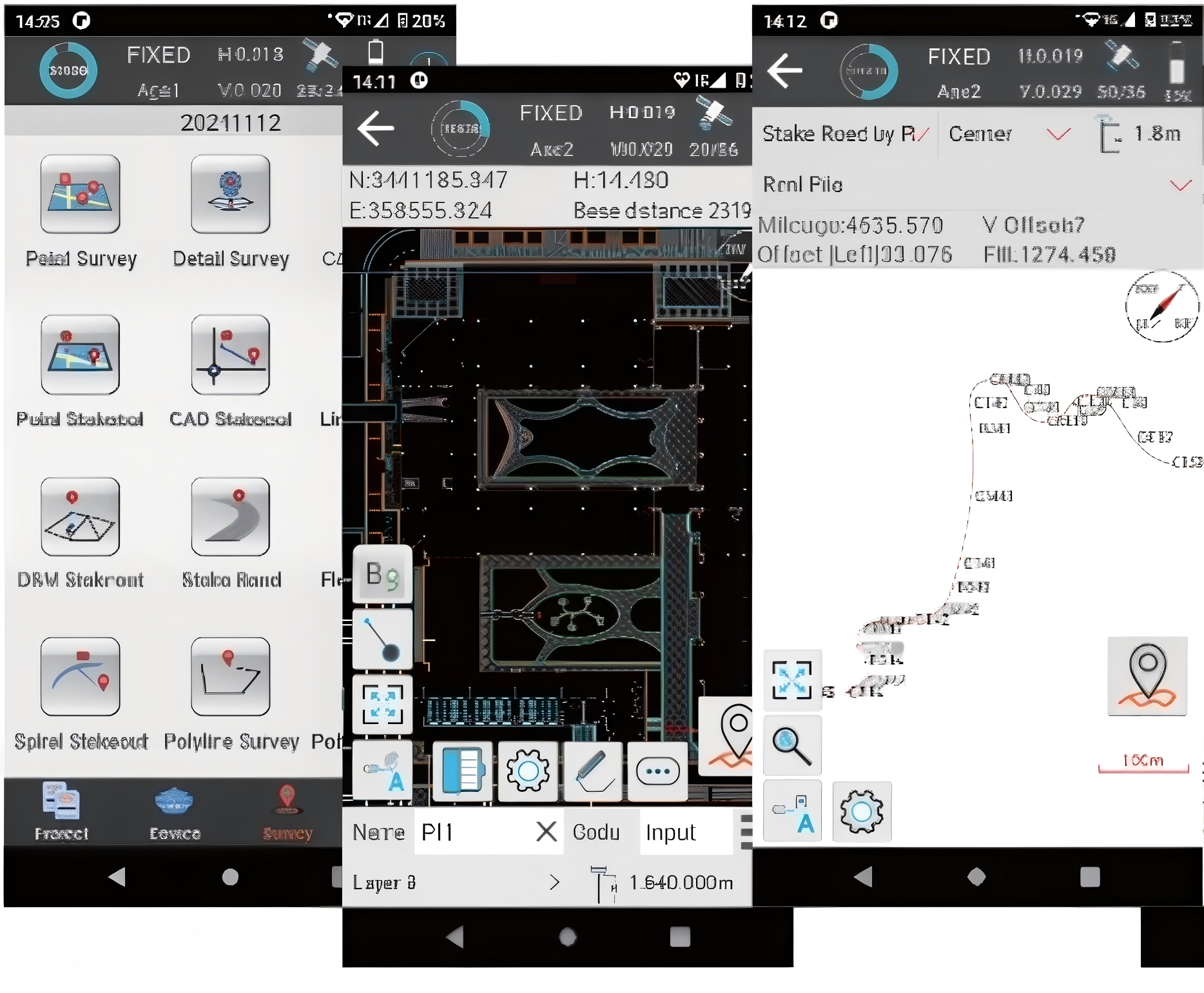
Standard "Capture" APP for real-time data collection status feedback and color point cloud preview, along with "PointClouds Studio" software for one-click generation of color point clouds in various common formats .

-
R7-Datasheet-V2.2-ENG.pdf