.png)
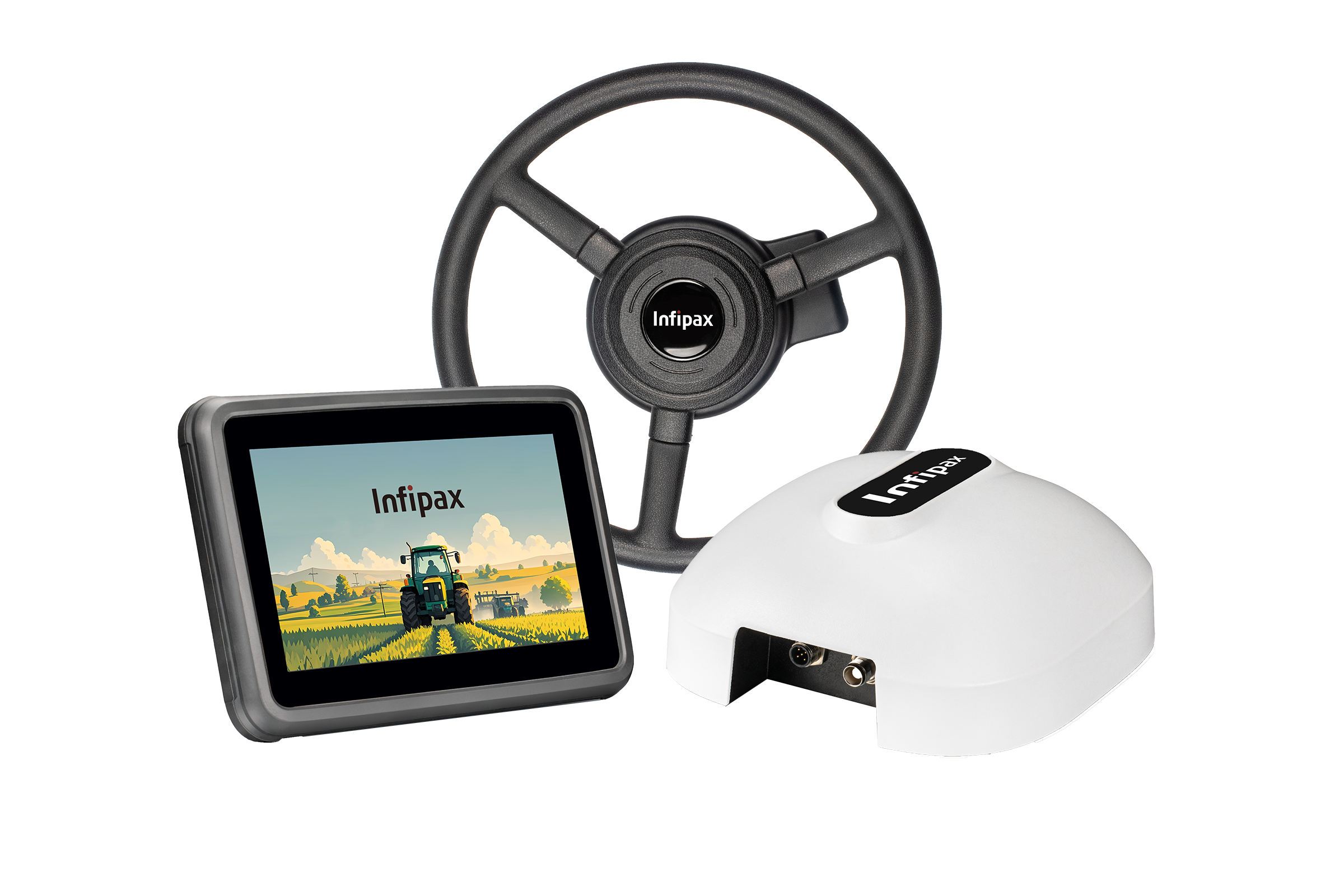

UAV & UGV
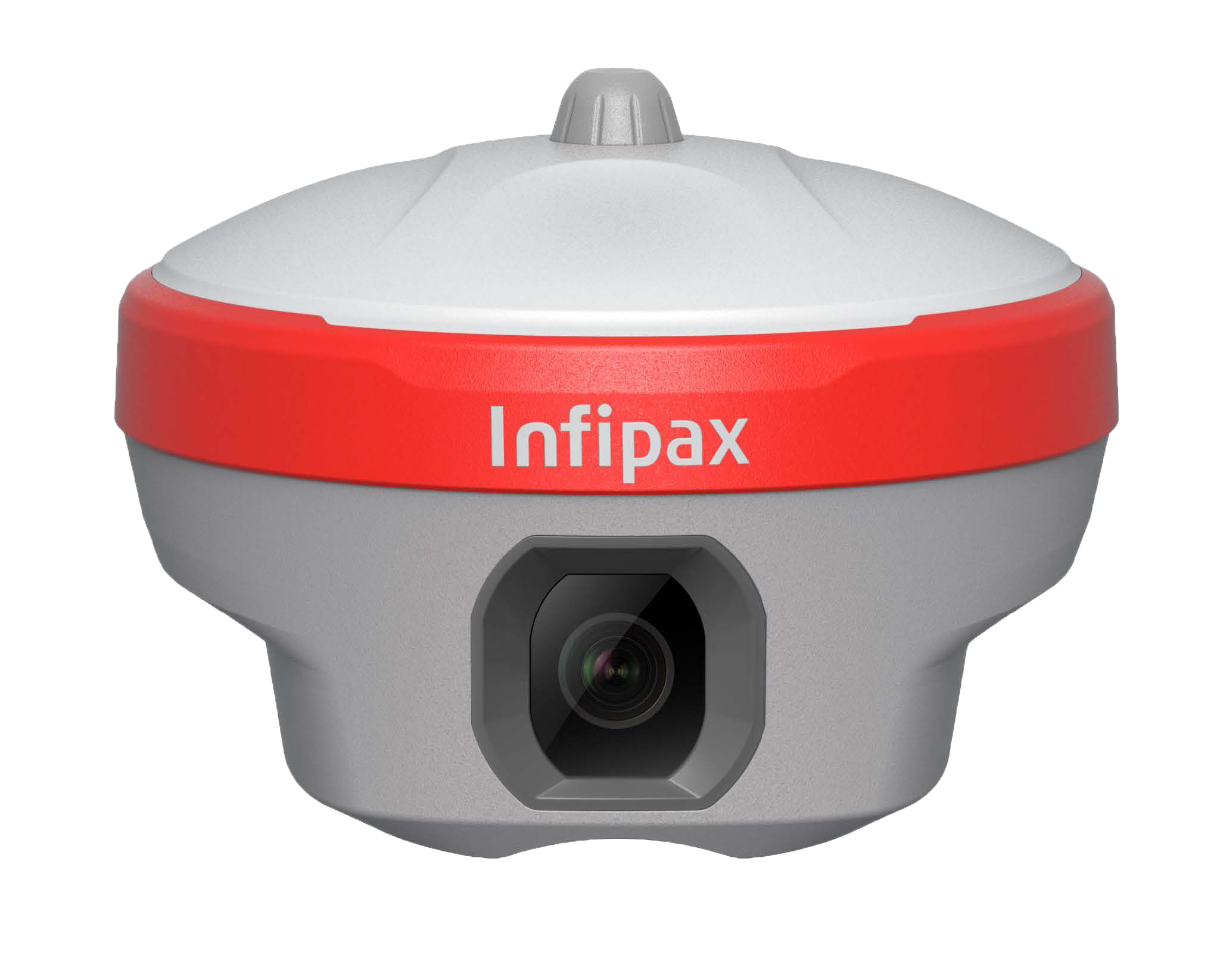
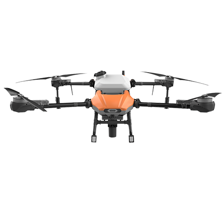
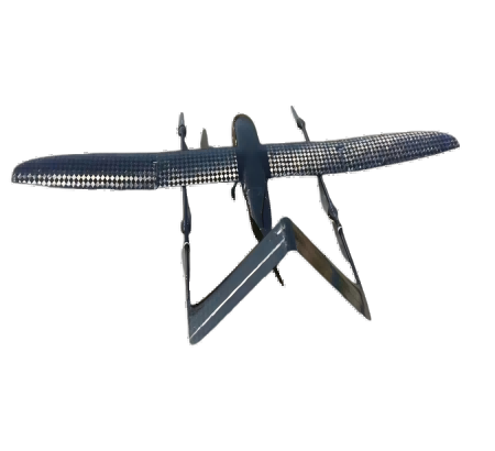
UAV Drone System
The UAV drone achieves high-precision positioning performance: RTK mode (±1cm horizontal/±2cm vertical accuracy), PPK mode (±2cm horizontal/±3cm vertical accuracy), and standard GNSS mode (±1.5m horizontal accuracy). This precision meets the requirements of surveying, mapping, agriculture, and inspection scenarios.
Equipped with a 15000mAh high-density lithium battery, the UAV provides up to 55 minutes of flight time in standard mode (no payload) and 40 minutes with a 1kg payload (camera/laser scanner). It supports fast charging (0-80% in 30 minutes) and hot-swappable battery design for continuous operation.
The UAV supports 20km ultra-long distance transmission (1080P real-time image transmission) via 2.4G/5.8G dual-band communication, with a maximum control radius of 30km (with ground station). It has anti-interference technology to ensure stable connection in complex electromagnetic environments.
The UAV has a maximum payload capacity of 5kg, compatible with multiple payloads: 4K gimbal camera (3-axis stabilization), LiDAR scanner, multispectral camera, thermal imager, and small spraying system (10L capacity). It supports quick-release payload mounting for easy replacement.
Designed for industrial-grade durability, the UAV can operate in wind speeds up to 15m/s (level 6 wind), rainfall up to 5mm/h (light rain), and temperature range of -10°C to 50°C. It has IP54 dustproof/waterproof rating and anti-electromagnetic interference protection for complex environments.
The UAV supports full autonomous flight: waypoint navigation (import KML/CSV files), automatic takeoff/landing, obstacle avoidance (360° omnidirectional radar + visual obstacle avoidance), return-to-home (low battery/ signal loss/ manual trigger), and automatic path planning for surveying missions.
The UAV has 256GB built-in storage and supports 1TB SD card expansion. Data (images, point clouds, flight logs) can be exported via Wi-Fi/USB-C, or automatically synchronized to the cloud platform (support HTTP/ MQTT protocol). It outputs standard formats: JPG/PNG (images), LAS/PCD (point clouds), KML/GPX (flight paths).
The UAV includes a 2-year warranty (1-year for batteries/propellers), free annual calibration (IMU/GNSS/camera), and 7×24 technical support (+86 400-888-XXXX). On-site maintenance is available in 30+ cities in China, and remote calibration/ firmware upgrade is supported via the ground station software.