.png)

Agri Navigation
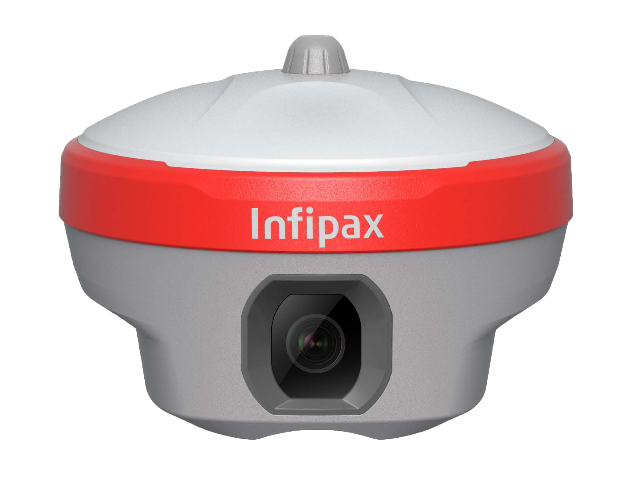
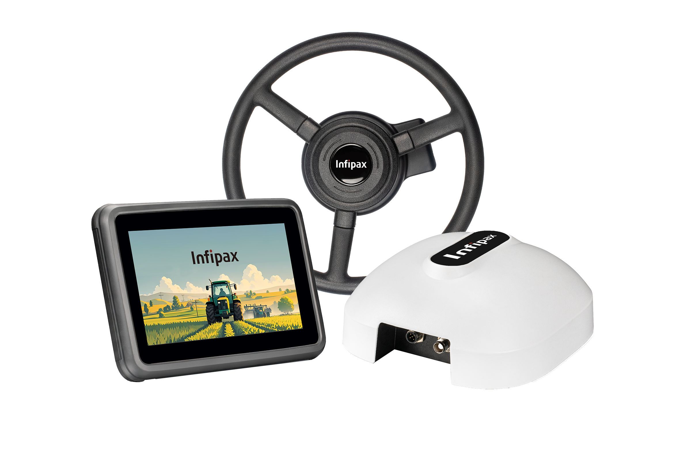
X18 Agricultural Navigation System
The X18 achieves centimeter-level positioning accuracy for agricultural operations: RTK mode (±2cm horizontal accuracy), DGPS mode (±10cm horizontal accuracy), and standalone GNSS mode (±1m horizontal accuracy). This precision ensures consistent row spacing and reduces seed/fertilizer waste during planting and spraying.
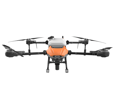
The X18 is universally compatible with mainstream agricultural machinery including tractors, planters, sprayers, harvesters, and spreaders. It supports both wheeled and tracked machinery, with customizable mounting brackets and interface adapters for different brands (John Deere, Case IH, Foton, YTO, etc.).
X18 is designed for extreme farm conditions: IP67 dustproof/waterproof rating, operating temperature range of -20°C to 70°C, shock resistance (1.5m drop test), and anti-vibration (compatible with tractor vibration frequencies up to 20Hz). It can operate normally in heavy dust, rain, and high-temperature field environments.
The X18 main unit is powered by a 12V/24V vehicle power supply (compatible with standard tractor electrical systems) with a built-in 10000mAh backup battery. The backup battery provides 8 hours of continuous operation in case of vehicle power failure, ensuring uninterrupted field work throughout a full workday.
Yes. The X18 fully supports all major global and regional GNSS systems: Beidou-3 (BDS-3) multi-frequency signals (B1C/B2a/B3I), GPS (L1/L2/L5), GLONASS (G1/G2/G3), Galileo (E1/E5a/E5b), and QZSS (L1/L2/L5). It has 800+ satellite tracking channels, ensuring stable signal reception in remote rural areas with limited satellite visibility (e.g., mountainous farmland, orchard canopies).
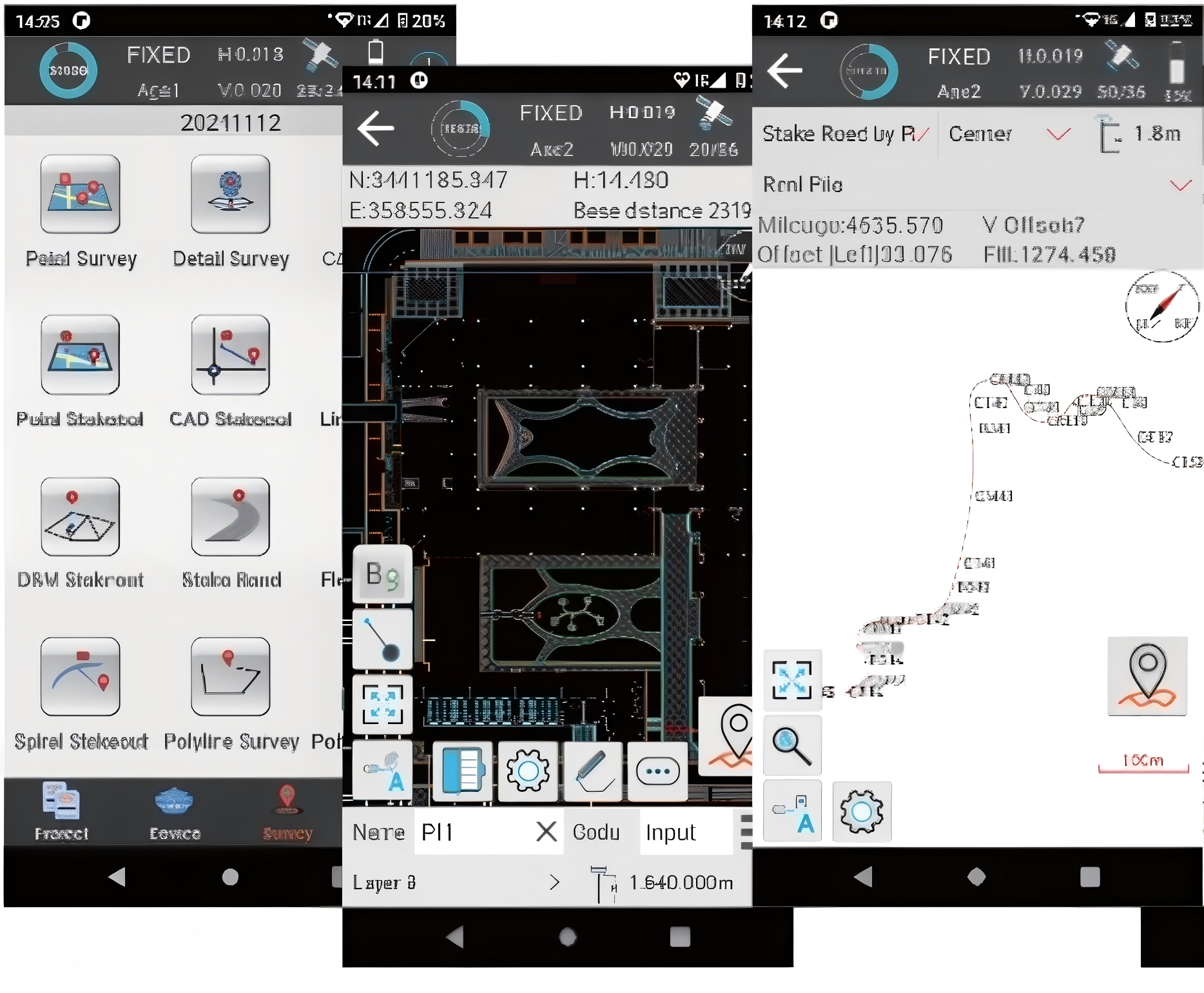
The X18 features a 7-inch touchscreen with a simplified UI (supports multiple languages including Chinese/English) and one-click operation modes (planting/spraying/harvesting). It includes voice guidance and on-screen video tutorials, and our technical team provides free on-site training for first-time users.
X18 has 64GB built-in storage (expandable to 128GB via SD card) for storing operation logs, path data, and yield maps. Data can be exported via USB, Wi-Fi, or 4G (LTE) to farm management software (compatible with AgriWebb, FarmLogs, and domestic farm management platforms) in CSV/KML/SHP formats.
The X18 RTK base station can be deployed in 15 minutes: it requires a clear line of sight (no tall trees/buildings within 500m), a stable power supply (solar panel + battery for off-grid use), and a known coordinate point (or auto-calibration via 3-point survey). The base station has a 10km coverage radius for rover units.
X18 includes a 3-year warranty (2-year for the GNSS antenna), free annual calibration (on-site or remote), and 7×24 technical support (+86 400-888-XXXX). Calibration can be completed remotely via 4G or on-site by our regional service engineers, ensuring long-term positioning accuracy.
Yes. The X18 is compatible with hydraulic/electric auto-steering systems (support ISO 11783 (CANbus) standard) and can achieve automatic driving with ±2cm path following accuracy. It supports both retrofit (for existing tractors) and factory integration (for new agricultural machinery).